CyStellar

Headquarters
London
Company size
Medium
Year founded
2017
Core product
Insurance
CyStellar uses satellite imagery to facilitate underwriting and risk assessment.
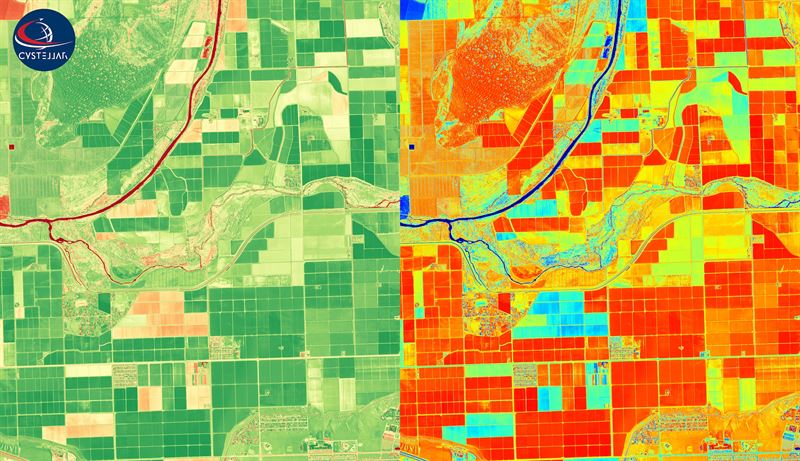
CyStellar is a geospatial intelligence company that uses satellite imagery, UAV and drone surveillance and IoT to for data-driven decision making in insurance, agriculture and logistics.”The CyStellar platform seamlessly integrates between satellites, drones, ground sensors and enterprise software, such that all the data is automatically collected, sent to the cloud, analyzed, and displayed in useful form, ideally in near–real time,” – states the company. The company uses government and commercial satellites to get a better coverage and detail. For the areas that can’t be accessed through Satellite Imagery, drones are used. The drones upload data to the analytics platform to be processed. That’s when IoT comes into play in order to unite the different sources of input into one whole platform using artificial intelligence.
The technology used by CyStellar reduces fraud risks significantly
InsurTech is one of the core products of the company. The vast information that is obtained through satellite imagery and drones is used to analyze and monitor customer risks. Using this data, even the slightest changes in the risk are identified by the system. “The information feed is seamlessly integrated into the (re)insurers workflows and offers dazzling insights on almost any place on the globe and it is directly linked to the insurance policies,” – states the company. This facilitates the process of underwriting for insurers as it is easier to assess the risk of each customer and set appropriate rates. In addition to underwriting, the technology makes it easier to assess the losses after an insuree files a claim. With online insurance platforms, the fraud risk is often very high. The information channels under the company’s control enable it to reduce such risks significantly.
CyStellar TerraRisk Re is a cloud-based platform that enables users to conduct enhanced data analysis for insurance purposes. The platform facilitates underwriting, risk selection, reserving, ratemaking, insurance portfolio optimization and claim assessment. This is achieved through Live Catastrophe Monitoring which monitors catastrophes in various areas in real time and is able to estimate damages and claims automatically. Cumulative Risk Elimination accumulates damages across the line of insurance business that is caused by catastrophes. Lastly, Continuous Risk Monitoring tracks changes in risks for large geographic areas that can affect the insurance policies.